


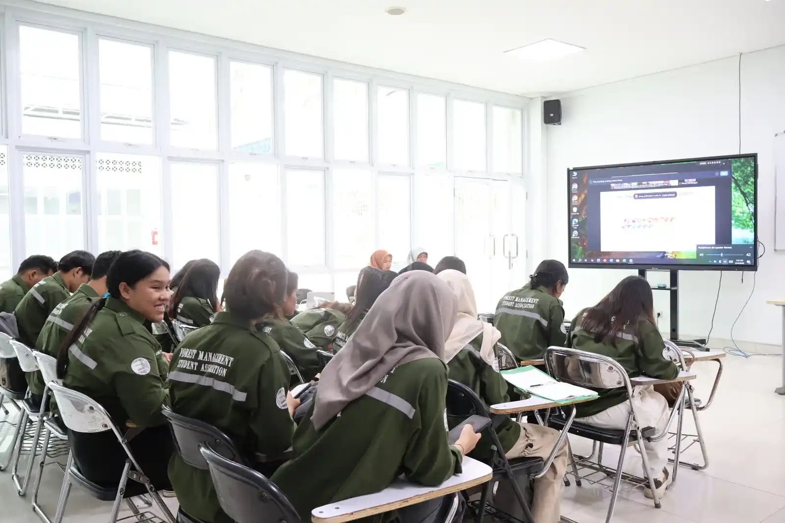
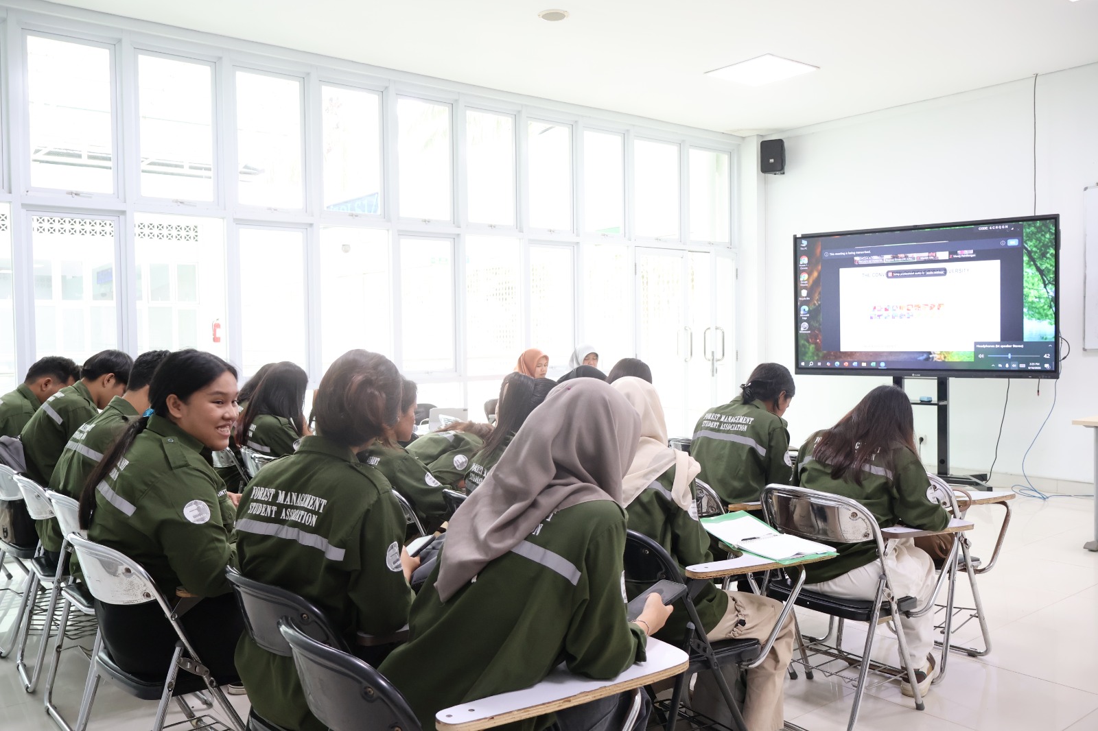
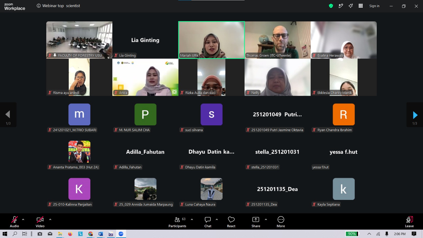
The Faculty of Forestry, Universitas Sumatera Utara (USU), strengthened students’ competencies in utilizing geospatial technology through the 2026 Top Scientist Webinar entitled “GIS and Remote Sensing for Biodiversity Mapping.” The hybrid webinar was held on Tuesday, August 18, 2026, starting at 2:00 p.m. WIB.
 |
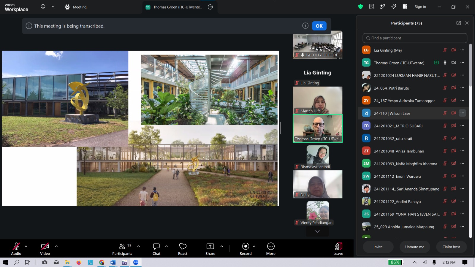 |
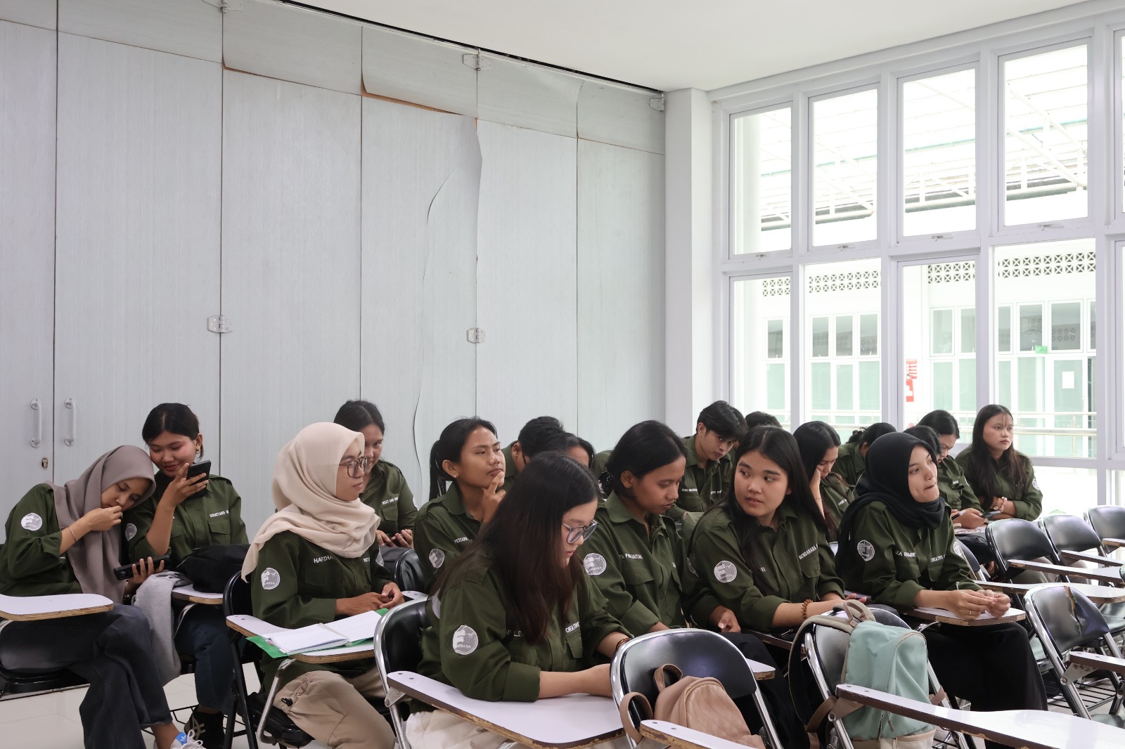
The webinar featured Assoc. Prof. Thomas Groen from the University of Twente, the Netherlands, as the keynote speaker. The event was attended by students of the Faculty of Forestry USU, particularly those specializing in Forest Management in their fifth and seventh semesters, as part of efforts to broaden their knowledge of developments in science and technology in the forestry sector.
In his presentation, Thomas Groen discussed the use of Geographic Information Systems (GIS) and Remote Sensing for biodiversity mapping. These technologies play an important role in identifying, mapping, and monitoring the distribution of species, habitats, land cover, and ecosystem conditions more effectively through spatial data.
 |
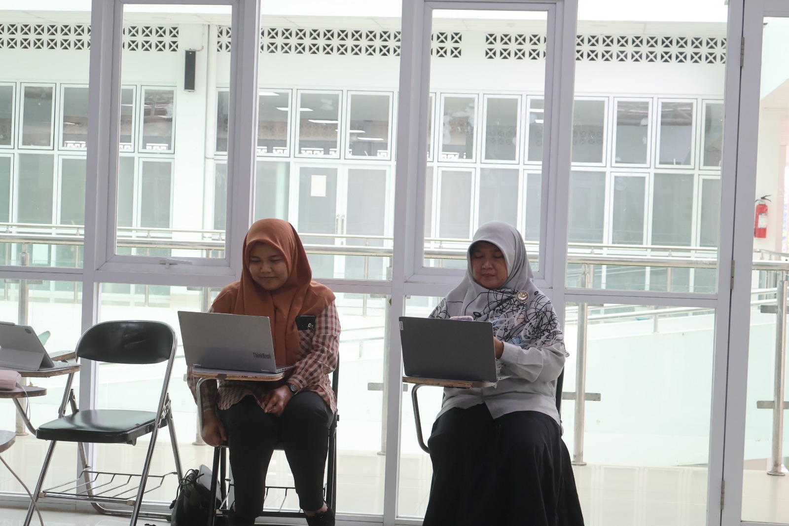 |
The event also included a discussion and Q&A session, providing students with an opportunity to deepen their understanding of the application of geospatial technology in research and forest resource management. The knowledge exchange also broadened students’ perspectives on the latest international research practices and developments.
The 2026 Top Scientist Webinar is part of the Faculty of Forestry USU’s commitment to providing learning opportunities that adapt to technological developments while strengthening students’ competencies. The knowledge gained is expected to support students in conducting research and addressing challenges related to sustainable forest and biodiversity management.
The activity also supports the Program Performance Indicators (IKP) through strengthening student competencies, improving the quality of learning based on developments in science and technology, and involving international academics in the learning process.
Furthermore, the use of GIS and Remote Sensing for biodiversity mapping aligns with the Sustainable Development Goals (SDGs), particularly SDG 15: Life on Land, through strengthening capacity for sustainable biodiversity monitoring and management, as well as SDG 4: Quality Education, by providing students with access to knowledge and learning from scientists at the international level.
Through this activity, the Faculty of Forestry USU continues to encourage students to develop their competencies, broaden their global perspectives, and utilize technological innovations as part of efforts to promote data-driven and sustainable forest resource management.