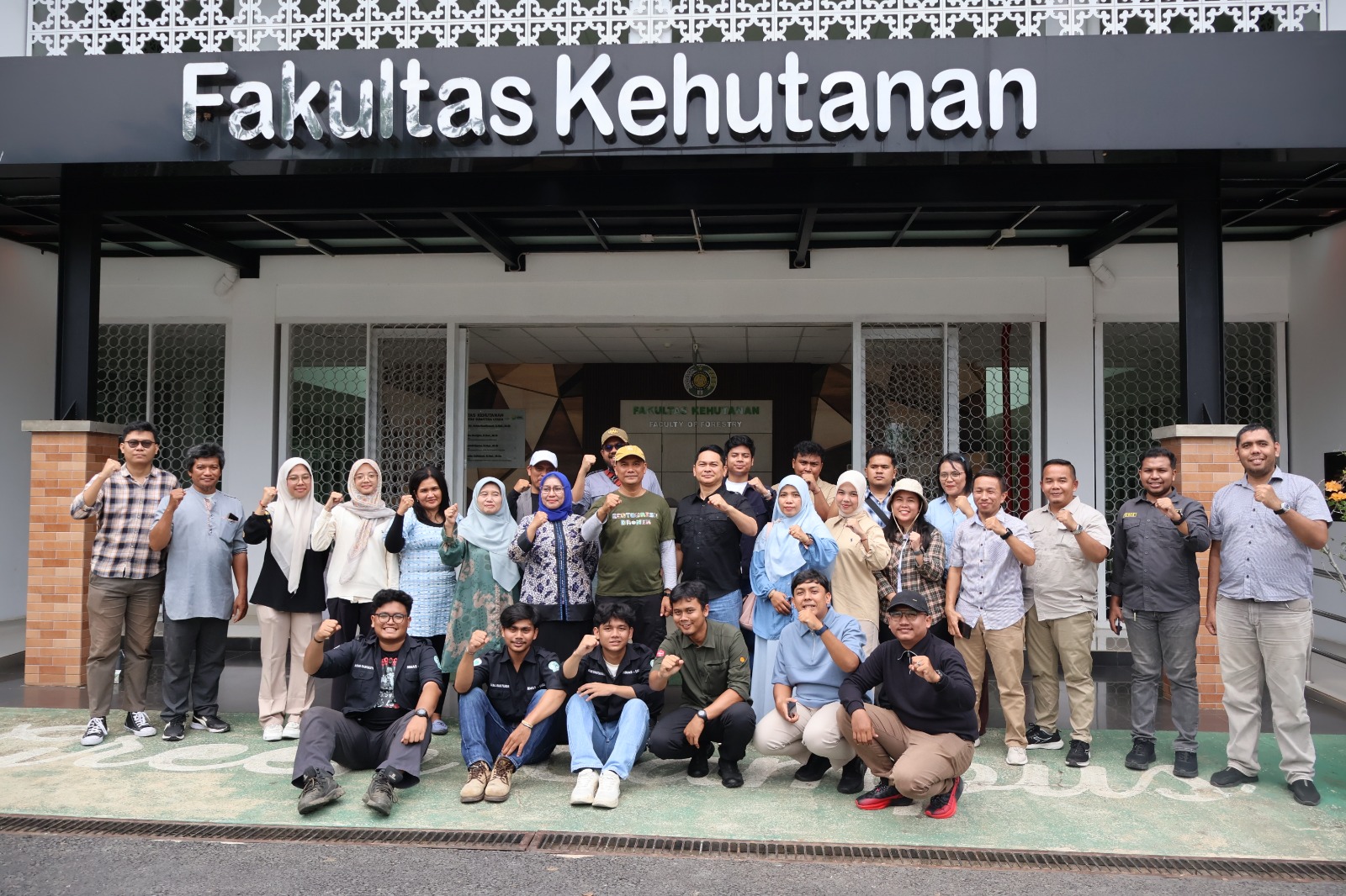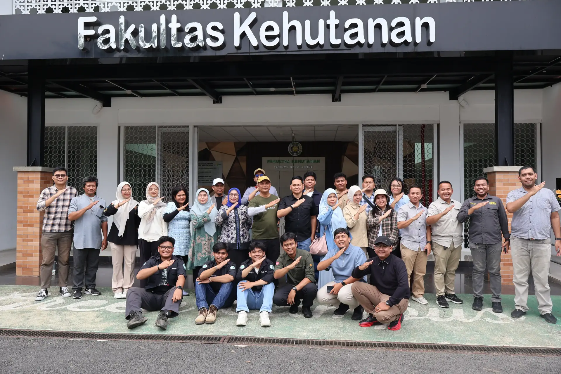
The School of Postgraduate of Universitas Sumatera Utara (USU), through the Regional and Rural Development Planning (PWD) Study Program, conducted Drone Mapping Training on Saturday, October 3, 2026, in the Faculty of Forestry area at USU Campus 2, Kwala Bekala, Deli Serdang. The activity was attended by master's students and participants from various institutions as part of efforts to strengthen skills in drone technology for mapping purposes.
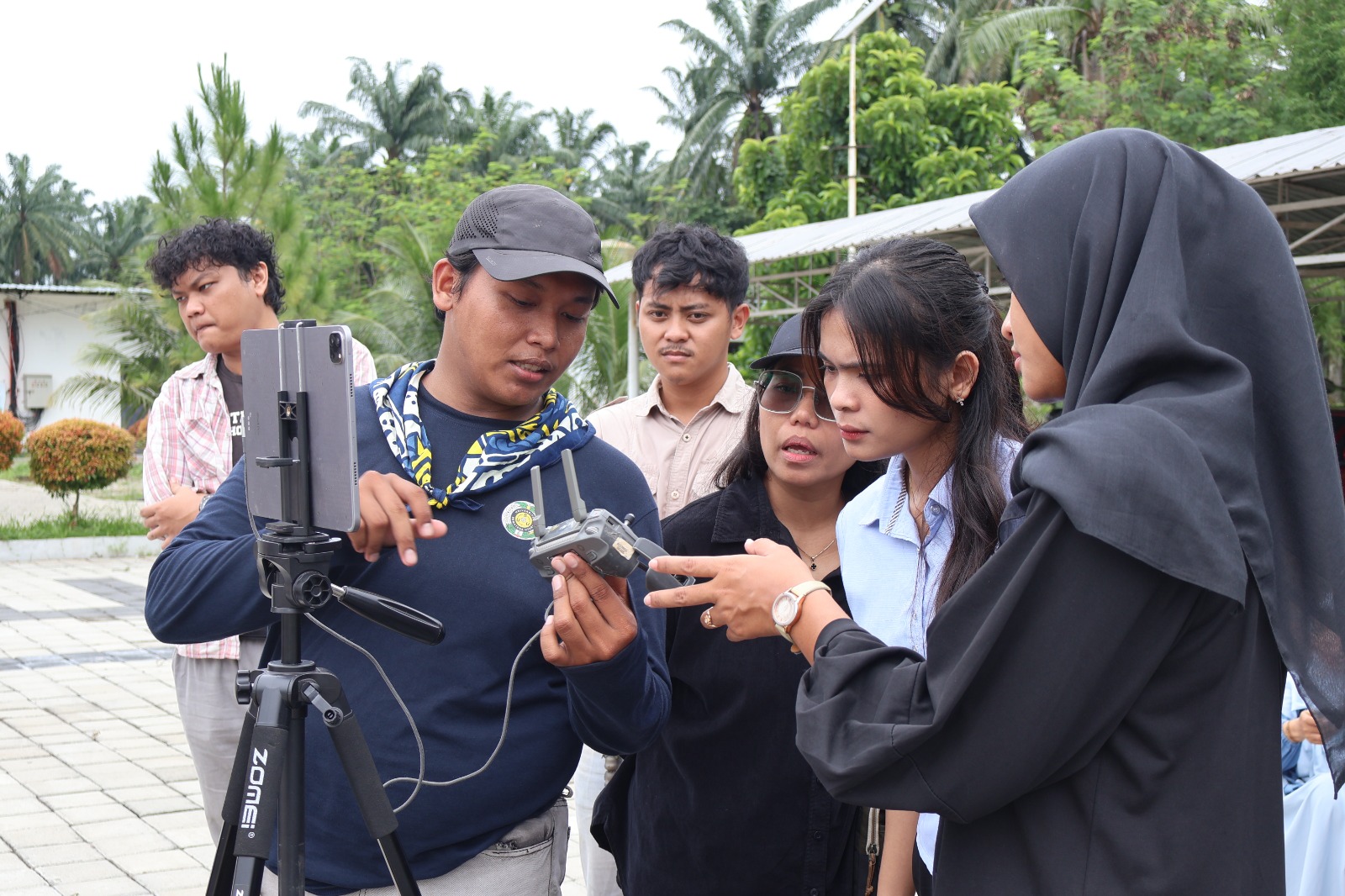
The training was led by Dr. Achmad Siddik Thoha and took place with great enthusiasm, as participants actively engaged in every stage of the activity. Through this training, participants had the opportunity to learn about and develop their skills in using drones as a technology for supporting spatial information collection.
The selection of USU Campus 2 Kwala Bekala as the training venue also contributed to the smooth implementation of the activity. The area was considered strategic for drone flight activities because it has extensive open spaces, an environment suitable for flight operations, and is not located in an area with flight restrictions that would hinder the training. The green and cool surroundings also provided a comfortable atmosphere for participants throughout the activity.
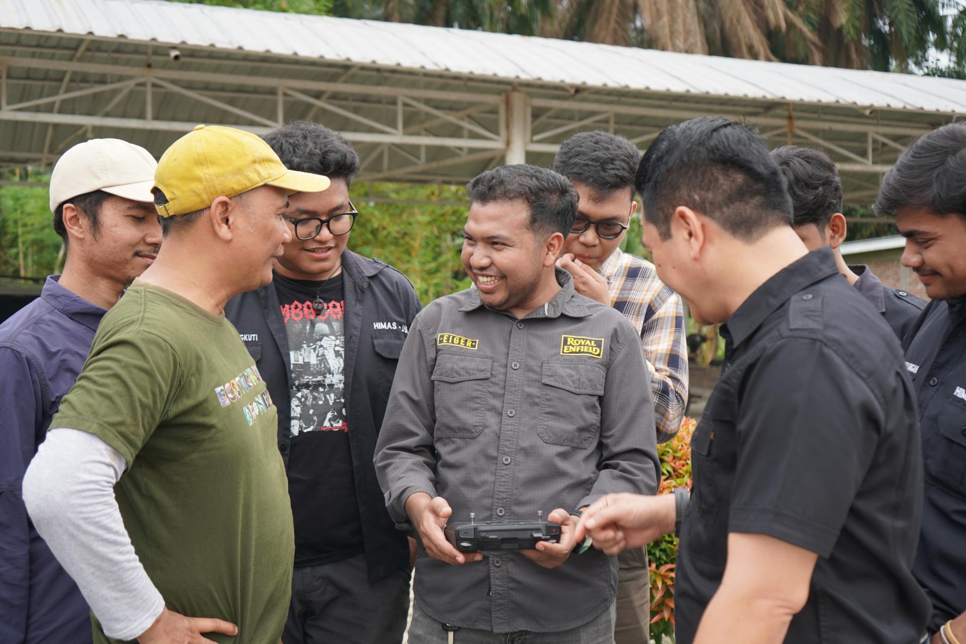
The training highlighted the importance of mastering mapping technology to support regional and rural development planning. The ability to operate drones and produce spatial information can serve as an important asset for students and practitioners in gaining a more comprehensive understanding of regional conditions and supporting data-driven planning processes.
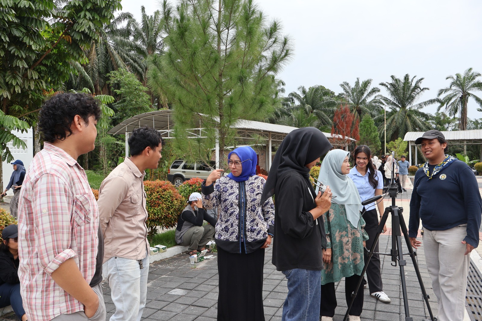
In addition to strengthening participants' capabilities, the activity also demonstrated how USU's academic environment can serve as a learning space that embraces technological developments. The integration of learning, technology, and field conditions is expected to produce human resources who are increasingly adaptable to the dynamic needs of development planning.
The Drone Mapping Training aligns with the Sustainable Development Goals (SDGs), particularly SDG 4: Quality Education through the improvement of participants' competencies and skills, and SDG 9: Industry, Innovation and Infrastructure through the use of drone technology to support spatial data collection and management. The use of this technology can also contribute to SDG 11: Sustainable Cities and Communities, particularly by promoting more data-driven, adaptive, and sustainable regional planning.