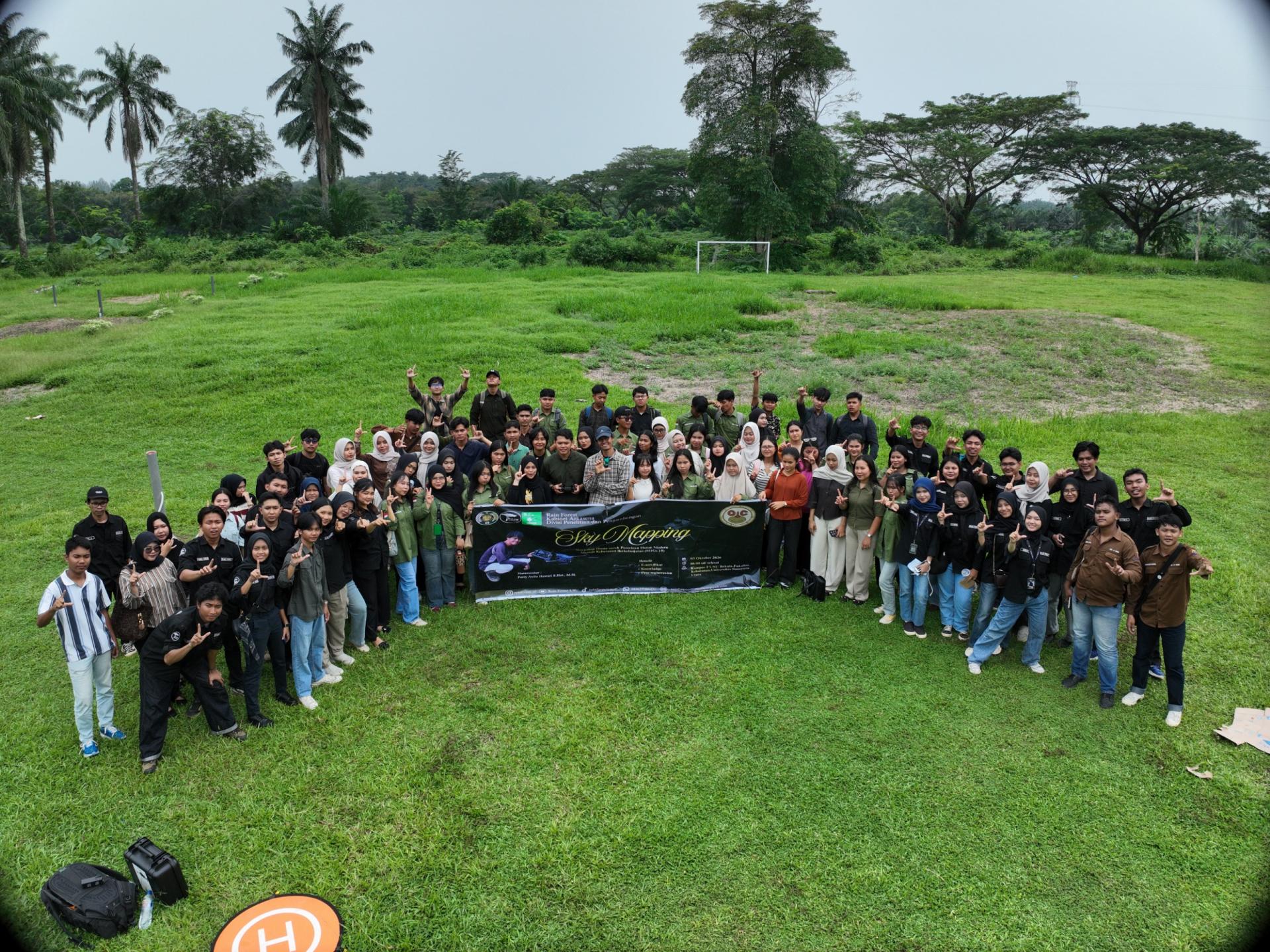
The Rain Forest Student Activity Unit (UKM) of the Faculty of Forestry, Universitas Sumatera Utara (USU), in collaboration with the Sumatran Orangutan Conservation Foundation – Orangutan Information Centre (YOSL-OIC), organized Sky Mapping: Drone Workshop for Modern Forest Mapping toward Sustainable Forestry on Saturday, October 3, 2026, at the Faculty of Forestry, USU, Campus 2, Kwala Bekala. The activity was attended by 84 participants from various universities and institutions in Medan as an effort to introduce the use of drone technology to support forest mapping and management.
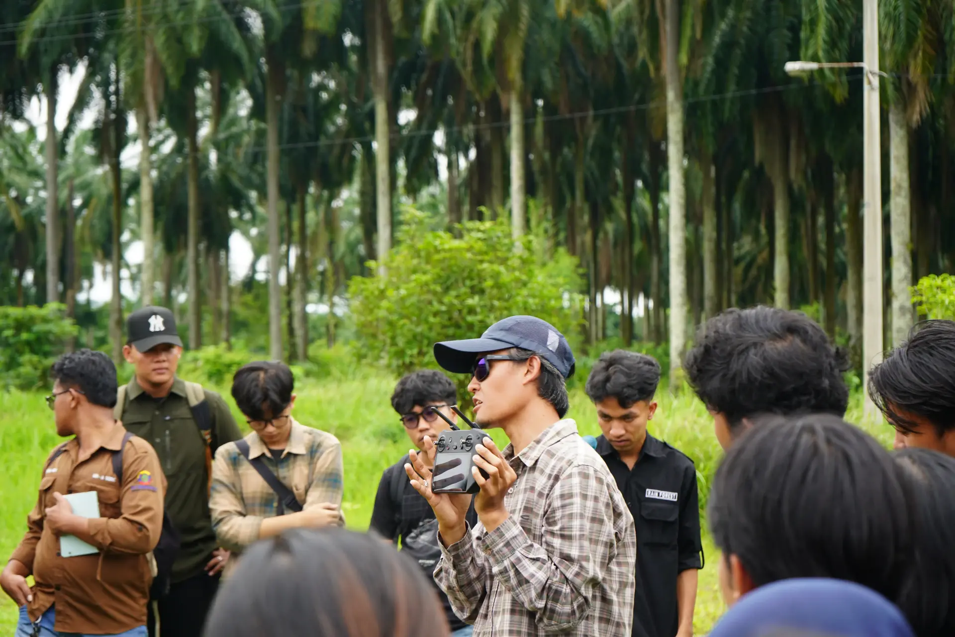
The workshop provided a learning opportunity for students to explore technological developments in forestry, particularly the use of drones for mapping, spatial data collection, and forest area monitoring. The use of such technology is becoming increasingly important as the need for data- and technology-based forest management continues to grow.
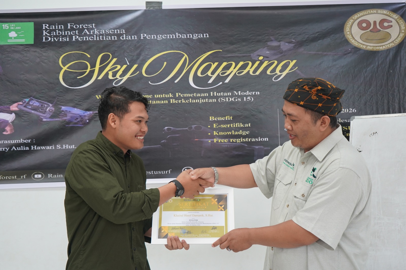
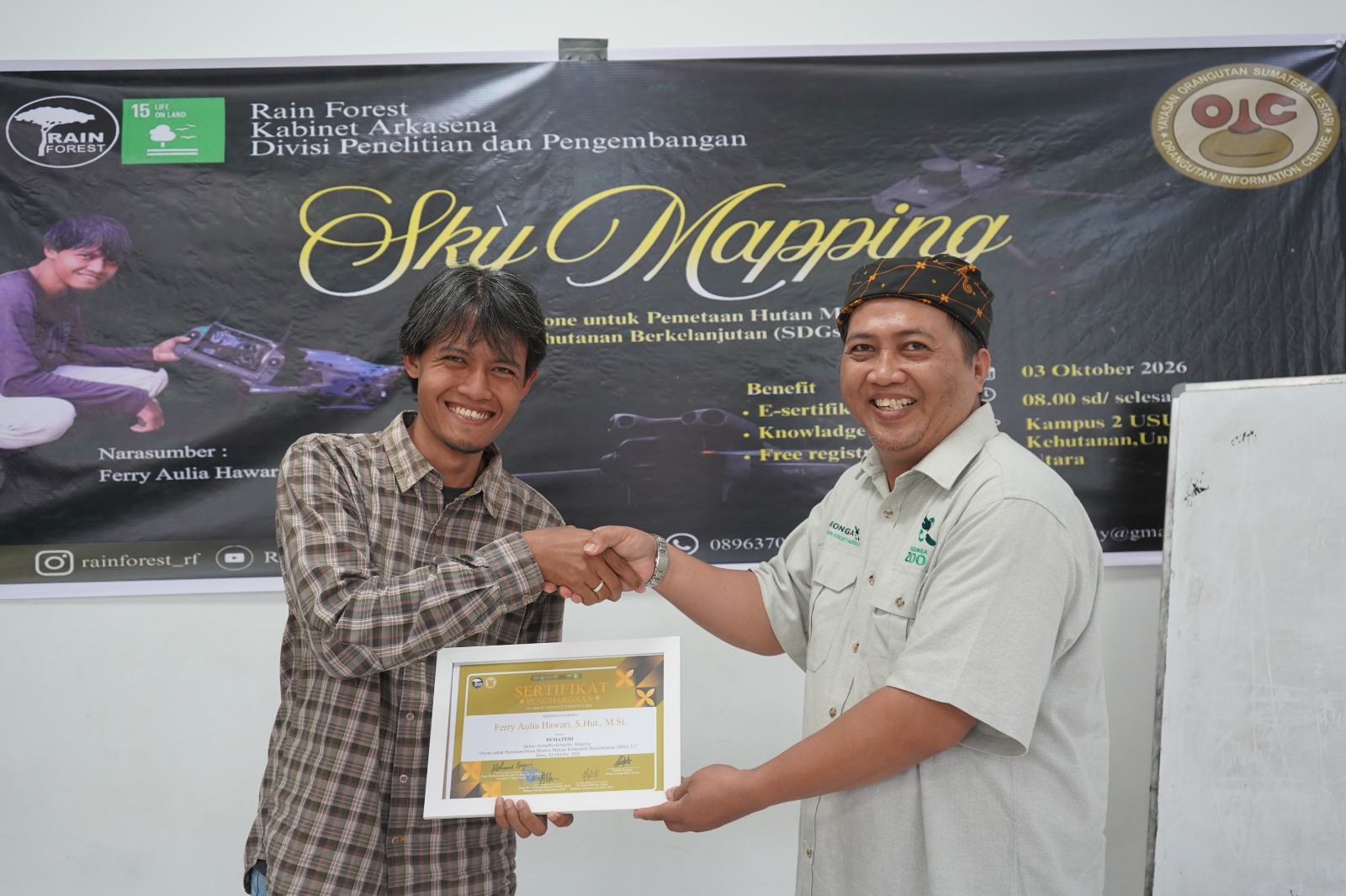
The speakers were Ferry Aulia Hawari, S.Hut., GIS Manager at YOSL-OIC, and Khairul Hanif Damanik, S.Hut., GIS Assistant at YOSL-OIC. Both are alumni of the Faculty of Forestry USU who currently work in the field of Geographic Information Systems (GIS). Their academic and professional experience provided valuable insights into the application of geospatial technology in the workplace.
Khairul Hanif Damanik explained that proficiency in drone technology is an important skill for forestry students. This technology can be used to support forest area analysis, spatial data collection, mapping, and more effective monitoring of forest conditions.
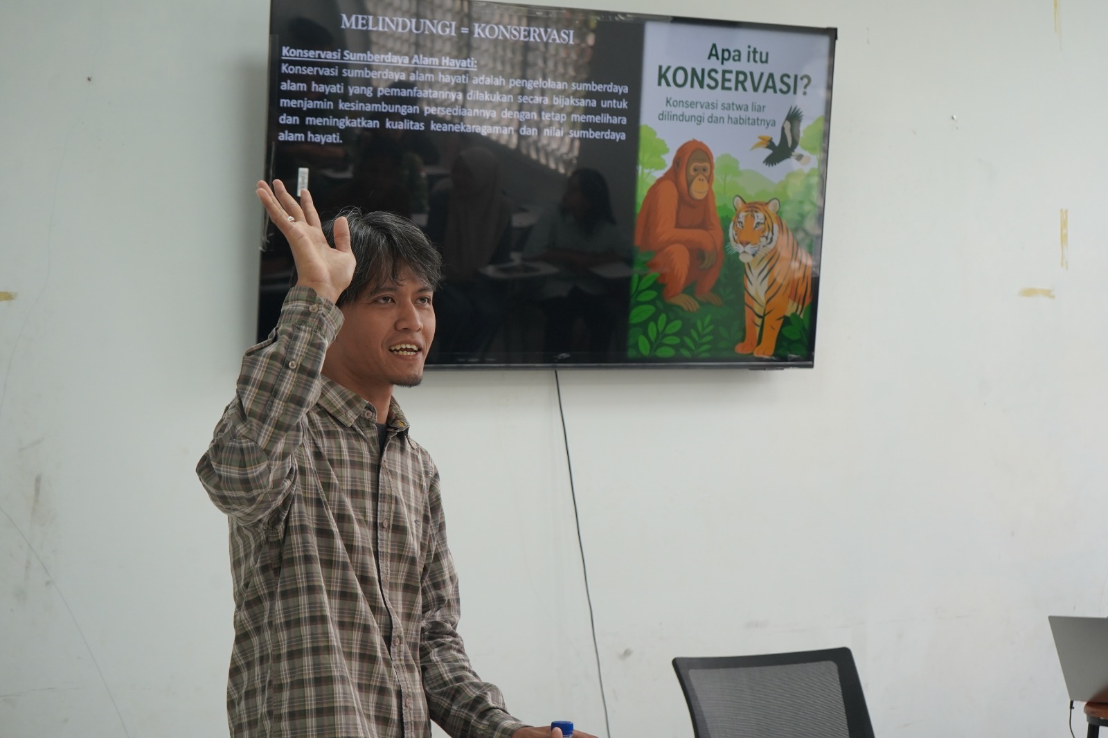
According to him, forestry students need to continuously adapt to technological developments to meet the increasingly complex demands of forest management. The ability to use technologies such as drones and GIS not only supports the learning process but also equips students with valuable skills for entering the professional world.
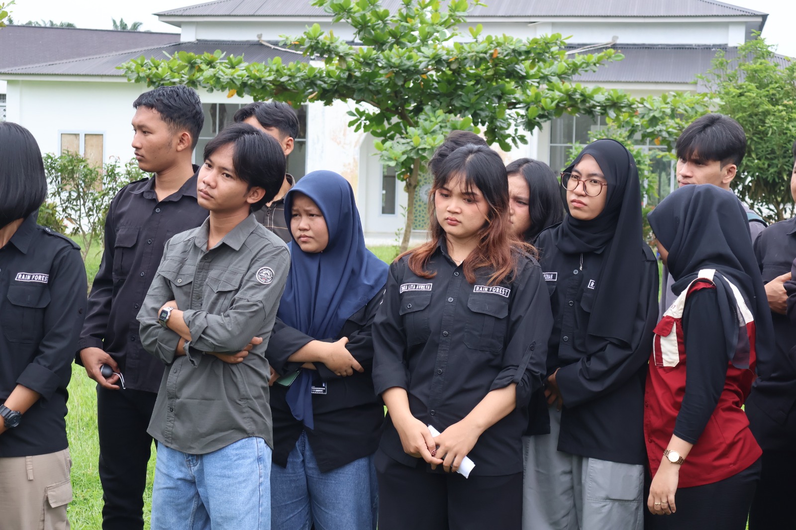
Participants demonstrated enthusiasm throughout the workshop. They considered the activity an opportunity to gain new knowledge relevant to current developments in forestry and beneficial for supporting academic activities as well as preparing for the world of work. The organizing committee chair, Dhealita Avrilya Purba, expressed her appreciation to all participants, YOSL-OIC, and the various parties who supported the activity. She hoped that the workshop would go beyond knowledge-sharing and encourage students to continue developing their competencies and utilizing technology to address future challenges in forest management.
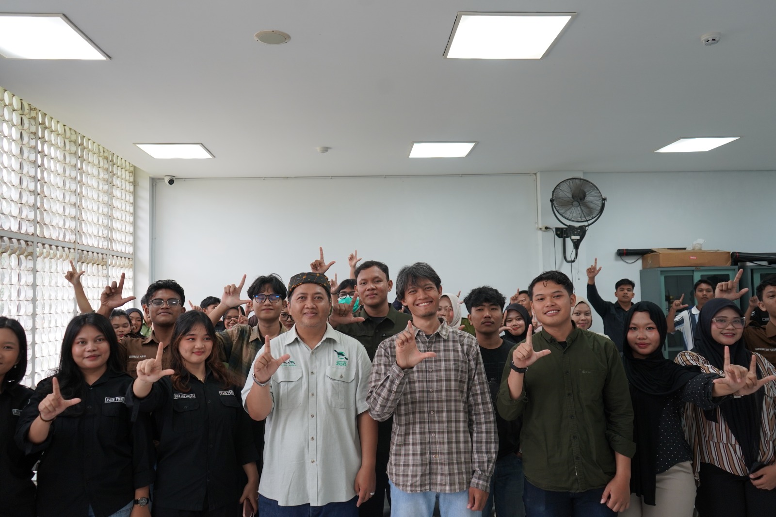
Through Sky Mapping, the Rain Forest Student Activity Unit and YOSL-OIC are helping strengthen the capacity of the next generation of forestry professionals to meet the demands of technology-based forest management. Proficiency in drone technology and GIS is expected to support the development of adaptive and innovative forestry professionals who can contribute to more effective and sustainable forest management.
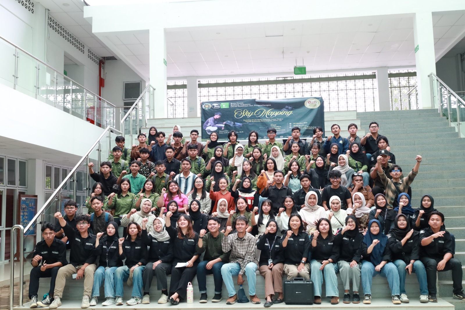
This activity aligns with the Sustainable Development Goals (SDGs), particularly SDG 4: Quality Education through improving student competencies, SDG 9: Industry, Innovation and Infrastructure through introducing drone and GIS technologies and their applications in infrastructure-related fields, and SDG 15: Life on Land through the use of technology to support sustainable forest monitoring and management.